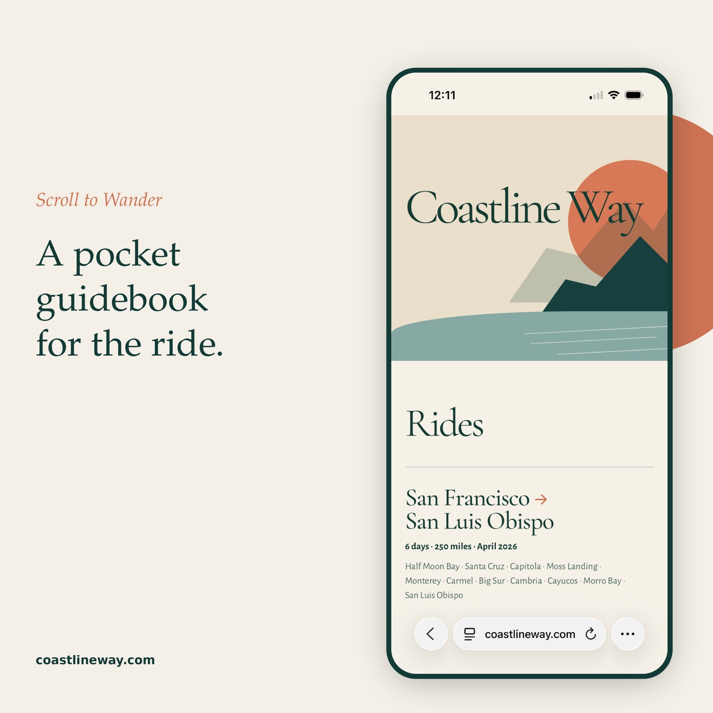
Coastline Way
Design and Build
Background
I love multi-day bikepacking trips. Planning the route is the easy part. Everything else is hard: where to find food and water, where to bail out if something breaks, where to sleep. And the small things that make a trip: good coffee and a pastry, a viewpoint worth stopping to sketch.
Challenges
I couldn't find an app that pulled it all together. The route lives in one app, the photos and notes in another, the food and campsites in a third. And plans don't survive the road: it rains, a day gets split in two, a town is worth an extra night.
Design
So I built Coastline Way, a location-aware pocket guidebook for the ride. I made it while planning a 12-day trip from Seattle to Eugene. Everything is in one place: scroll to wander the route, or jump straight to any day.
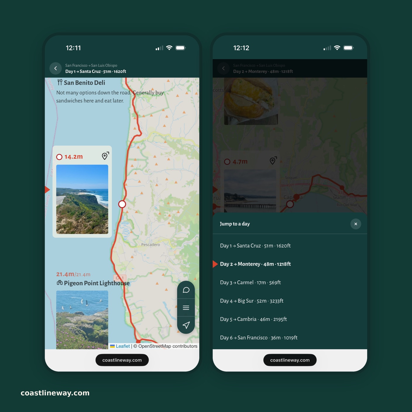
As you scroll, the map follows along, moving to each stop and highlighting it on the route. Days open with distance and climbing, and photos sit right on the stop where they were taken.
Built for the Road
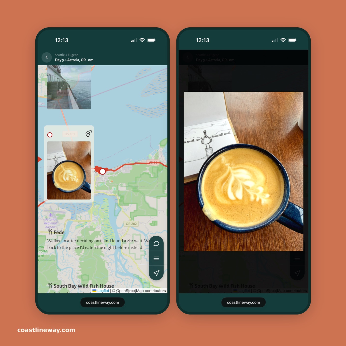
The plan lives in a Google Sheet I can edit from a café. Each night I adjusted tomorrow's stops, logged what actually happened, and added photos and GPS tracks from my phone. The site reads the sheet live, and the GPS tracks I actually ride set the mileage and climbing for every stop and day. Stretches covered by train or ferry show as gaps instead of miles.
Outcome
Right now it's my personal travel journal, with four routes and more than 600 miles of riding. Try it out at coastlineway.com, and if you think it could be more, leave me a note there. I'd love to hear it.